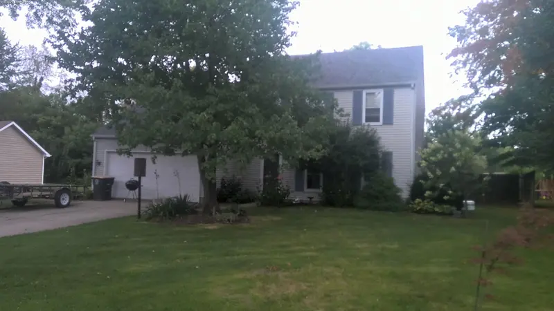
9730 CROWN POINT DR
Liberty Hill · 0.8 miles from quarry site
County Assessed Value
$235,900
Impact Tier
10% Decline
Estimated Loss on Day One
-$23,600
Long-Term Impact
| Without Quarry | With Quarry | Your Loss | |
|---|---|---|---|
| Day One | $235,900 | $212,300 | -$23,600 |
| Year 5 | $266,900 | $240,200 | -$26,700 |
| Year 10 | $302,000 | $271,800 | -$30,200 |
| Year 30 | $494,800 | $445,300 | -$49,500 |
Environmental Exposure at 0.8 Miles
- Elevated particulate matter (PM2.5/PM10) — documented at distances up to 1.5 miles from active quarries under typical wind conditions
- Heavy truck traffic on shared neighborhood roads — diesel exhaust, road wear, and safety concerns
- Noise from rail spur — loading and switching operations for the proposed rail line
- Light pollution from 24-hour industrial facility lighting
These impacts would persist for the 80–100 year operational life of the quarry. See the full research.
Note: County assessed values are typically below market value. Your actual loss may be higher. Decline estimates are synthesized from peer-reviewed hedonic pricing studies. No local appraisal specific to this site has been conducted. See methodology.
Not your home? Search for a different address · All neighborhoods